DV-08-014 Accelerating use of seafloor maps to manage the impacts of invasive species and fishery closures
Linda Mercer
Director, Bureau of Resource Management
Maine Department of Marine Resources
PO Box 8
West Boothbay Harbor, ME 04575
linda.mercer@maine.gov
207.633.9525
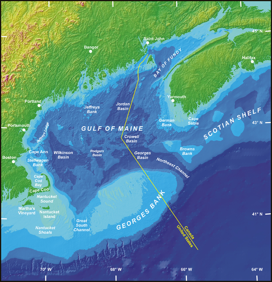 High-resolution seafloor mapping has been identified as a fundamental step in achieving ecosystem-based management in the Gulf of Maine, yet managers need training in the interpretation and use of these new tools. Training and refinement of seafloor maps and modern 3-D spatial images allow managers, policymakers, industry, and other stakeholders to “see” the location, structure, and juxtaposition of bottom substrates and habitats, target resources, and critical natural and cultural features, and visualize the impacts of human activities and management measures.
In April 2009, Gulf of Maine Mapping Initiative and the Gulf of Maine Research Institute convened a workshop on how to integrate seabed habitat information into fisheries management decisions more effectively. Scientists and managers at this workshop articulated that ecosystem management will require improved information about the habitats of economically and ecologically important species and the impacts of different human activities.
Later in 2009, regional environmental scientists and managers, fisheries ecologists, and seabed mappers explored how seabed habitat information was currently being used in ecosystem management. Project partners planned to investigate how this information can be made more useful to those who manage fisheries, energy development, and other human activities in coastal and offshore waters.
Total: $2,500