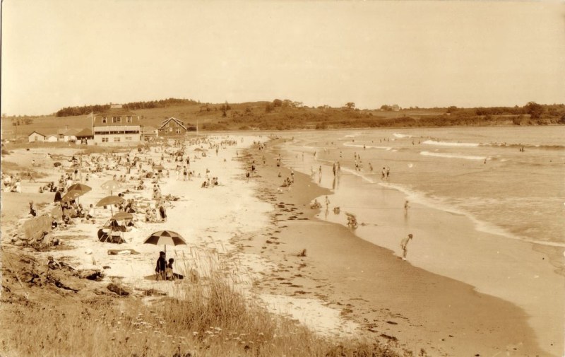
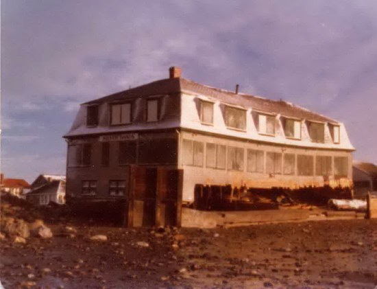
Higgins Beach

Higgins Beach Geology
“Higgins Beach is an approximately 900 m long spit, bound by bed rock at its south western end and the Spurwink River at its north eastern end. Almost 70% of the shore line is armored with sea walls, with the largest unarmored section comprising the spit adjacent to the Spurwink River. The Spurwink River tidal inlet is down drift from the beach, and the spit has continued to prograde since net sand transport is north east toward the inlet. Generally, the beach receives no new sand supply so sediment removed from the beach is difficult to re place; a net loss of sand was documented by Timson and Lerman (1980) in the Higgins Beach Management Plan. The plan calculated shore line recession rates from 1 to over 5 feet per year along the beach. Nelson(1979) determined an erosion rate of 1 to 1.5 feet per year over most of its length.”

Climate Change and Sea Level Rise
“Almost all of Maine’s developed beaches are at risk of damage from a truly large storm that comes at the time of an astronomically high tide, as was the case during the 2007 Patriots’ Day Storm. Over the next several decades, the “100-year coastal storm” could occur every two to three years in the Northeast. Heavier rainfall could trigger sewer overflows, threatening coastal water quality and closing beaches.”
Higgins Beach History
Historical information on Higgins Beach is available courtesy of the higginsbeachproperties.com website, which is loaded with historical photos and anecdotes about the neighborhood and the beach.
Shipwreck
The ship Howard W. Middleton ran aground on Higgins Beach in 1897. The remnants of this wreck can still be seen today when sand levels are low.

