Gooch’s Beach

Goochs Beach Geology
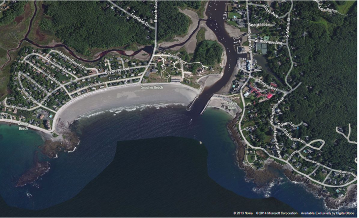
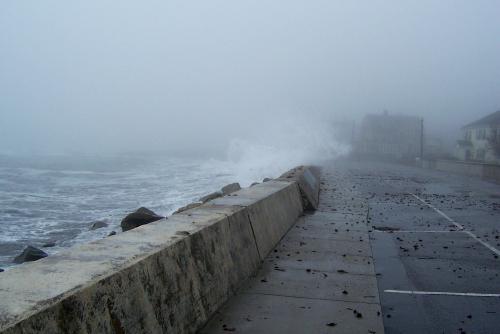
“Goochs Beach is an approximately 1.3 km long east-west trending pocket barrier located adjacent to the mouth of the Kennebunk River and bounded by bedrock head lands of Oaks Neck and Old Fort Point. Approximately 90% of Goochs Beach is fronted with a wooden seawall, though a very small active frontal dune is located adjacent to a jetty at the river mouth. The beach profile is generally flat and low and, due to the lack of sand exchange with most of the dune system and repeated wave action on the seawall, has a minimal summer berm. Middle Beach, west of Goochs Beach, is a mixed sand and gravel beach fronted with a large concrete seawall. No historical shore line change measurements are available since this beach has been engineered since air photos were first taken.”

Ancient Tree Stumps on Kennebunk Beaches
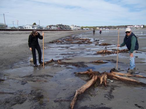
“In the pocket beach just east (right) of Lords Point are drowned, intertidal tree stumps from an upland setting that existed several thousand years ago. As a consequence of sea-level rise of over a three feet in the last few thousand years, the shoreline in this cove has migrated inland a considerable distance.”
Climate Change and Sea Level Rise
“Almost all of Maine’s developed beaches are at risk of damage from a truly large storm that comes at the time of an astronomically high tide, as was the case during the 2007 Patriots’ Day Storm. Over the next several decades, the “100-year coastal storm” could occur every two to three years in the Northeast. Heavier rainfall could trigger sewer overflows, threatening coastal water quality and closing beaches.”

