R-10-01 The critical leading edge of Gulf of Maine salt marshes
Daniel Belknap
Department of Earth Sciences
University of Maine
Orono, ME 04469
207.581.2159
belknap@maine.edu
http://climatechange.umaine.edu/Directory/people/belknap.html
Joseph Kelley
Department of Earth Sciences
University of Maine
Cynthia Loftin
USGS Cooperative Research Unit
Salt marshes protect coastal lands from flooding and erosion, absorbing the impacts of storms and high tides while maintaining water quality and providing habitat for fish, birds, and other wildlife. Sea level is a major physical factor controlling salt marshes, which exist in the narrow range between high and low tides. For the last 300 years, sea level has been rising at a more rapid rate than the historic long-term average, and predictions of accelerated sea-level rise threaten to erode and drown salt marshes along the Maine coast, especially where they don’t have room to “migrate” inland.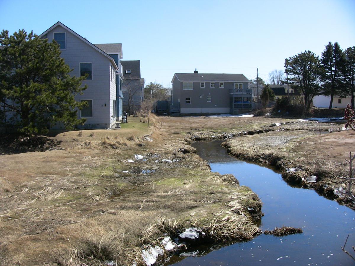
Belknap, Kelley, Loftin, and graduate student Margot Mansfield studied marsh development and sea level rise along the Maine coast. Mansfield’s thesis described the nature and rates of change at the “critical leading edge” of salt marshes where they overlap with upland environments. This information and other results will help coastal managers and land owners understand risks of sea-level rise to property and infrastructure, and also inform long-term planning and land conservation efforts. For example, the Maine Department of Transportation and Maine Geological Survey used results from this research to make a decision to place rip-rap to slow ongoing erosion of a bluff/bog complex at South Lubec, and to evaluate more permanent solutions.
Watch a video of Margot Mansfield in the field at Bar Harbor.
Two-year project, 2010-2012
Total Sea Grant funds: $156,945